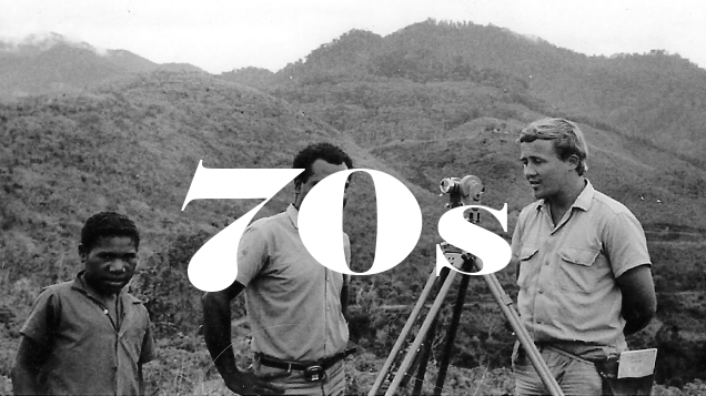
Chris Franks (Land Surveyor and Survey Manager for Tomkinson Group), is now a published author! Chris has an ongoing interest in survey related technology, and his insights on geodetic computation were recently published in The Consulting Surveyor (Issue No. 4, 2016).
Congratulations to Chris! You can read his article below……
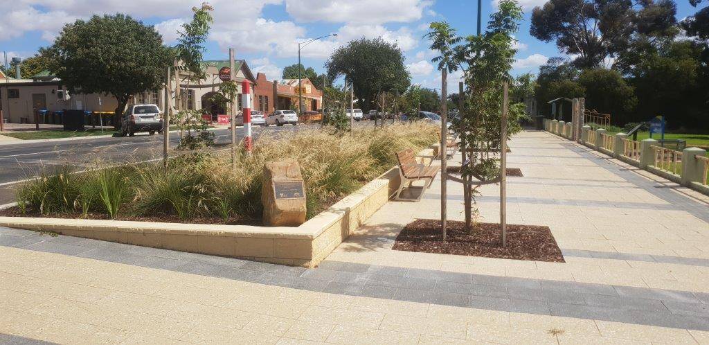
WHAT NEXT?
Confused by Geodetic computation? Don’t like numbers? Well, then worry no more: What3Words is here to help. Well, at least to the precision of a 3m worldwide grid and as long as you want to make calculations between points without any understanding of what is going on. You may like to look online to dig into this surprisingly clever system and hopefully this quick précis will tempt you to waste a little of your valuable time.
What3Words is a geo-referencing system by Manchester Geomatics (MGL) for just about everyone except surveyors. The basic gist is the division of the entire globe into about 57 Trillion (5.7 x 10¹³) 3x3m grids and the allocation of a 3-word “coordinate” to each. eg. survey.pays.little is in Stockton, California and the geographic centre of Victoria is found at lizard.flirting.animal (previously known as 36°51ꞌ15ʺS, 144°16ꞌ 52ʺE). It converts WGS -84 lat.long grid centroids into an easy to remember, 3-word coordinate via a proprietary algorithm linked to an obviously large dictionary. The system exists in 9 languages (stand alone, not translated) with more coming. The clever thing though, is that if you make a minor error such as using “trains” instead of “train”, the resulting location will be so far away from expected that the error will be obvious. No more transcript errors! How this all fits into a 10 mb app is beyond my capacity to understand, but apparently it is all achieved with around 40,000 words for the English version.
Now, the Oxford Dictionary appears to have about 170,000 current use, full entry words. Letting all the plurals, tense forms etc cancel out most of the too long, too obscure words, we’ll go with say 200,000 useable words. That potentially supplies about 8×10¹⁵ points. With a bit of commitment, that will get the grid size down to around 0.25m and our vocabulary will improve immensely. This might just squeeze under the Cadastral Regs for a 1km2 block, but the mythical coordinated Cadastre will need to plan for conventional systems for now.
However, What3Words looks to be a really practical way to communicate basic position information (such as postal address, a broken down car or a Power Pole) as a person will generally remember 3 words with more reliability than a geodetic coordinate. Probably not too good for search and rescue or for launching military strikes though if you can’t spell proper. If the concept takes hold though, consider Land Victoria and search providers accommodating this as a searching centre point. Clients could give you a coordinate anywhere on their property, and that could link straight to a parcel and away you go! As an interface between end users and spatial data this could actually have legs, particularly as the subject becomes more regional or remote.
Along those lines, according to the Age article on 3/7/16, Land Tasmania is incorporating the idea into mapping systems so keep an eye out.
So, have a look at What3Words.com and hope for a funny or incisive coordinate at your place.
There is an interesting tech paper on the site that is easy to read and worth a look if you have geek tendencies.