Services
Surveying
Tomkinson’s qualified Licensed Surveyors offer a full range of surveying services, from boundary realignment to multi-lot subdivision.
A Licensed Surveyor is an authorised surveying member to perform cadastral surveys and is the only person legally entitled to undertake a survey to define and mark the boundaries of your property.
Licensed Surveyors in Victoria are registered with the Surveyors Registration Board of Victoria who maintain the register of all licensed surveyors. Land development surveying can take on many forms and licensed surveyors are required whenever any of the following matters require professional attention on your behalf:
- Determining exactly where the boundaries of your property are
- Placing buildings or structures on or near your property boundaries
- Claiming title to land areas under adverse possession
- Subdividing your property or building
- Giving advice on ownership rights, boundary disputes, easements, and a multitude of title based questions that can arise
- Consolidating titles
- Dealings involving crown land
Many other professional and construction personnel will offer and perform survey, planning, design and similar services but they are not necessarily Licensed Surveyors.
Across the south-east corner of Australia, when you next require survey services from a land development consultant, or need some form of land development surveying from a reputable and professional company with experienced and fully qualified Surveyors, be sure to contact Tomkinson.
SURVEYING
Other things we do:
- Engineering set out
- Building control and set outs
- As constructed surveys for services and builds
- GNSS surveys for control, mapping, orientation (Grid/True Norths) or to coordinate isolated objects
- Prepare 3D CAD models for planning or engineering design purposes, or hydraulic modelling
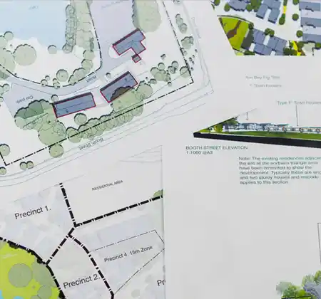
- Plans to support planning permit applications/presentations
- Volume calculations
- Movement monitoring
- Building area surveys (Property Council of Australia)
- Solid generalist advice on any matters relating to spatial or land or ownership matters
- Solutions to any problem that requires physical measurement or orientation
OUR Services
Tomkinson is a multi disciplinary organisation featuring wide-ranging capabilities, proactive leadership, outstanding service and current technology. Our team provides Project Management, Civil Engineering, Town Planning and Land Surveying services.